

Mobility for All: Walking, Cycling, and Transit-Ready Streets
Sketch your home at the center of a circle and mark essential destinations reachable within fifteen minutes on foot: groceries, childcare, clinic, park. Gaps reveal where a path, crossing, or shade could unlock sustainable trips. Share your map screenshot, and tell us which single improvement would convert one weekly car errand into a pleasant walk.
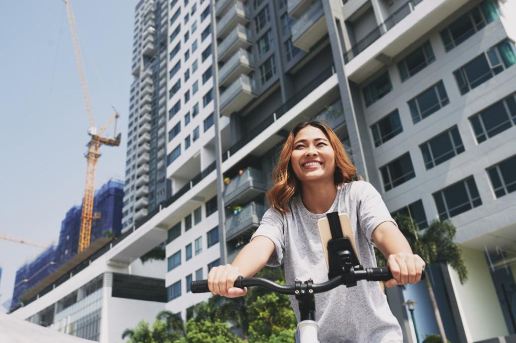
Mobility for All: Walking, Cycling, and Transit-Ready Streets
Physical separation—planters, curbs, or parking—turns bike lanes into calm, legible spaces. Studies consistently link protected lanes with fewer collisions and more riders, including families and older adults. Where a lane meets a busy intersection, clear markings and daylighting improve sightlines. Which corridor in your city most needs protection? Nominate it, and we will compile community evidence for change.